个人简介:
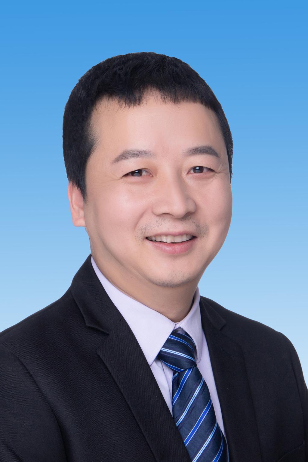
孙文彬,男,教授,博士生导师,中国矿业大学(北京)地球科学与测绘工程学院遥感与地理信息系系主任,自然资源部时空信息与智能服务重点实验室副主任,山东省矿井上下导航与监测重点实验室学术委员,导航协会低空经济委员会副主任,主持国家自然科学基金、北京市重点基金、国家重点研发计划子课题等项目40余项、在国内外学术期刊发表论文80余篇,其中SCI、EI检索50余篇,出版学术专著4部,获测绘科学进步等省部级奖励5项,授权专利12项。研究团队自2000年以来一直从事全球离散格网模型理论与方法、遥感卫星任务规划、大数据分析应用、遥感智能计算、GIS系统设计与开发等方面的研究、研发工作。研究团队提出了全球退化四叉树离散格网模型,构建了编码、计算核心算子库,研发了多个仿真平台,形成了从理论-算法-平台-应用的全链条生态体系,指导研究生60余名。
教育背景:
2000: 毕业于西南交通大学土木工程学院获测绘工程专业工学学士学位
2003: 毕业于西南交通大学土木工程学院获大地测量学与测绘工程专业工学硕士学位
2007: 毕业于中国矿业大学(北京)获地图制图学与地理信息工程专业工学博士学位
工作经历:
2007年-2011年,中国矿业大学(北京)资源与安全工程学院,讲师;
2011年-2017年,中国矿业大学(北京)地球科学与测绘工程学院,副教授
2017年—至今,中国矿业大学(北京)地球科学与测绘工程学院,教授
2014.09-2015.09: 在美国辛辛那提大学地理系作访问学者
联系方式:
电话:010-62339355
电子邮件:swb1996@126.com;swb@cumtb.edu.cn;
代表性科研项目:
1.气象与遥感耦合的多气候带农作物生产风险评估与区划关键技术研究(北京市自然科学基金-丰台创新联合基金L251006,2025.07-2028.06)
2.基于全球离散格网的CO2时空变化模拟研究(国家自然科学基42271435,2023.01-2026.12)
3.自然资源地表要素识别模型匹配方法研究(国家国家重点研发计划2023YFB3907603-4,2023.12-2026.11)
4.全球位置开放性互操作质量评价方法(国家国家重点研发计划2018YFB0505301-4,2018.5-2022.8)
5.基于规则等距离散格网的PM2.5空间分布特征提取及动态变化模拟研究(国家自然科学基41671383,2017.01-2020.12)
6.顾及规则等积特性的全球离散格网建模研究(国家自然科学基41201416,2013.01-2015.12)
7.企事业单位委托项目:空域精细化网格体系构建技术实验
8.企事业单位委托项目:调查分区体系建设
9.企事业单位委托项目:土地复垦省级监管核查
10.企事业单位委托项目:全省矿山生态恢复治理和土地复垦监管核查成果数据建库
11.企事业单位委托项目:协助内蒙古全区耕地质量类别划分数据建库
12.企事业单位委托项目:地质灾害环境调查与关键技术研究及三维可视化成果集成
13.企事业单位委托项目:阜新海州露天煤矿及周边基础调查项目
14.企事业单位委托项目:自然资源调查监测与知识服务
15.企事业单位委托项目:网络分析并行算法与中间件研发与测试;
期刊论文:
1.Mengmeng Qin, Xuesheng Zhao, Zhanpeng Xu, Wenbin Sun, Wenlan Xie, Qinping Liu. A multi-objective scheduling method for agile satellites based on nonlinear utility and deep reinforcement learning. International Journal of Digital Earth, 2026,19: 2643501.
2.Mengmeng Qin, Wenbin Sun, Xuesheng Zhao, Wenlan Xie. A Multi-Agent Dynamic Role Modeling Method for Multi-Satellite Observation Scheduling. Advances in Space Research, 2026.
3.Yurong Zheng; Wenbin Sun; Shouhang Du; Haibo Ban. Change in aerosol optical depth in Chinese urban agglomerations during the early phase of dual-carbon actions. Environmental Pollution, 2025, 366: 125486.
4.Yurong Zheng; Wenbin Sun; Zheng Guo. Decoding spatiotemporal dynamic of atmospheric CO2 concentration under different urban development model. Urban Climate. 2025, 61: 102474.
5.Liyuan Guo; Shouhang Du; Wenbin Sun; Deqin Fan; Yuhui Wu. Multi-scale impact of urban building function and 2D/3D morphology on urban heat island effect: a case study in Shanghai, China. Energy and Buildings, 2025, 338: 115719.
6.Yuhui Wu; Deqin Fan; Yajun Cui; Shouhang Du; Wenbin Sun; Liyuan Guo; Chunhuan Liu. A National-Scale Evaluation of Eco-City Development in China: Spatial Heterogeneity, Obstacle Factors, and Relationship with Carbon Intensity. Land, 2025, 14(11): 2146.
7.Qingping Liu; Xuesheng Zhao; Xinglong Wang; Mengmeng Qin; Wenbin Sun. A Multi-Scale Airspace Sectorization Framework Based on QTM and HDQN. Aerospace, 2025, 12: 552.
8.Linye Zhu; Xiaoyi Jiang; Longfei Zhao; Hui Qu; Wenbin Sun; Haibo Ban. Changes in remotely sensed Forel-Ule Index for the coastal seas of Japan, 2013–2023. Earth Science Informatics, 2025, 18(1): 57.
9.Linye Zhu, Huaqiao Xing, Wenbin Sun, Shouhang Du, Congcong Wang, Qing Su. Sample selection for remote sensing image change detection with unsupervised knowledge representation quantification. Pattern Recognition, 2026: 113671.
10.Linan Guo, Yuehan Wang, Yi Yang, Yurong Zheng, Li Zhou, Wenbin Sun. Inequality in distribution of atmospheric particulate matters and their health exposure risk in Beijing-Tianjin-Hebei, China. Atmospheric Pollution Research, 2025: 102877.
11.Zhu L, Sun W, Fan D, et al. Exploring the level of agricultural development using greenhouse mapping: a case study of Shandong Province, China[J]. IEEE Journal of Selected Topics in Applied Earth Observations and Remote Sensing, 2025, 18: 5793–5809.
12.Yuanzheng Duan, Xuehsneg Zhao,Wenbin Sun, Qingping Liu, Mengmeng Qin. A multimetric evaluation method for comprehensively assessing the influence of the icosahedral diamond grid quality on SCNN performance. International Journal of Digital Earth, 2024, 17(1):2310090.
13.Qingping Liu, Xuesheng Zhao, Yuanzheng Duan, Mengmeng Qin, Wenlan Xie, Wenbin Sun. Dynamic Construction of Spherical Raster Voronoi Diagrams Based on Ordered Dilation. ISPRS International Journal of Geo-Information, 2024,13:202.
14.Yiying Hua, Xuesheng Zhao, Wenbin Sun, Qiwen Sun. Satellite-Based Reconstruction of Atmospheric CO2 Concentration over China Using a Hybrid CNN and Spatiotemporal Kriging Model. Remote Sensing, 2024,16:2433.
15.Shouhang Du, Yirui Zhang, Wenbin Sun, Bo Liu. Quantifying heterogeneous impacts of 2D/3D built environment on carbon emissions across urban functional zones: A case study in Beijing, China. Energy & Buildings, 2024,319:114513.
16.Yurong Zheng, Jianfei Wu, Shouhang Du, Wenbin Sun, Lming He. Unrevealing the coupling coordination degree between atmospheric CO2 concentration and human activities from geospatial and temporal perspectives. Science of the Total Environment, 2024,942:173691.
17.Zhu L, Sun W, Xing H, et al. A phenological knowledge transfer-based fine grained land cover change sample collection method: a case study of coastal wetlands[J]. International Journal of Digital Earth, 2024, 17(1): 2310090.
18.Zhu L, Sun W, Fan D, et al. Unsupervised spatial self-similarity difference-based change detection method for multi-source heterogeneous images[J]. Pattern Recognition, 2024, 149: 110237.
19.Zheng Y, Du S, Sun W. Spatiotemporal patterns of net regional productivity and its causes throughout Ordos, China[J]. Environmental Science and Pollution Research, 2024, 31(14): 22038–22054.
20.Zhu L, Guo Z, Sun W. A Coupled Temporal-Spectral-Spatial Multidimensional Information Change Detection Framework Method: A Case of the 1990-2020 Tianjin, China[J]. IEEE Journal of Selected Topics in Applied Earth Observations and Remote Sensing, 2023, 16: 5741–5758.
21.Hua Y, Zhao X, Sun W. Estimation of anthropogenic CO2 emissions at different scales for assessing SDG indicators: method and application[J]. Journal of Cleaner Production, 2023, 414: 137547.
22.Zhu L, Sun W, Zhang Q, et al. Fine-grained agricultural and pastoral information extraction using Sentinel-1 and Sentinel-2 intra-year time series in Jingyang District, Deyang City[J]. Advances in Space Research, 2023, 72(9): 4031–4047.
23.Zhu L, Sun W, Wu J, et al. Spatiotemporal Distribution of Carbon Sink Indicators—NPP and Its Driving Analysis in Ordos City, China[J]. Applied Sciences, 2023: 13(11): 6457.
24.Zhu L, Guo Z, Xing H, Sun W, et al. A Coupled Temporal–Spectral–Spatial Multidimensional Information Change Detection Framework Method: A Case of the 1990–2020 Tianjin, China[J]. IEEE Journal of Selected Topics in Applied Earth Observations and Remote Sensing, 2023, 16: 5741-5758.
25.Wang C, Du S, Sun W, et al. Self-supervised learning for high-resolution remote sensing images change detection with variational information bottleneck[J]. IEEE Journal of Selected Topics in Applied Earth Observations and Remote Sensing, 2023, 16: 5849-5866.
26.Fu Y, Sun W, Fan D, et al. An assessment of China's industrial emission characteristics using satellite observations of XCO2, SO2, and NO2[J]. Atmospheric Pollution Research, 2022, 13(8): 101486.
27.Fu Y, Sun W, Luo F, et al. Variation patterns and driving factors of regional atmospheric CO2 anomalies in China[J]. Environmental Science and Pollution Research, 2022, 29(13): 19390–19403.
28.Li Y, Zhao X, Sun W, et al. A GtoG Direct Coding Mapping Method for Multi-Type Global Discrete Grids Based on Space Filling Curves[J]. ISPRS International Journal of Geo-Information, 2022, 11(12): 595.
29.Wang Z, Zhao X, Sun W, et al. Correlation analysis and reconstruction of the geometric evaluation indicator system of the discrete global grid[J]. ISPRS International Journal of Geo-Information, 2021, 10(3): 115.
30.Luo F, Zhao X, Sun W, et al. An Overall Uniformity Optimization Method of the Spherical Icosahedral Grid Based on the Optimal Transformation Theory[J]. Atmosphere, 2021, 12(11): 1516.
31.Fu, Ying; Sun, Wenbin; Zhao, Yi; Han, Yahui; Yang, Di; Gao, Yunbing;Exploring spatiotemporal variation characteristics of China's industrial carbon emissions on the basis of multi-source data;Environmental Science And Pollution Research. 2021,8:41016-41028
32.Wang C, Sun W, Fan D, et al. Adaptive feature weighted fusion nested U-Net with discrete wavelet transform for change detection of high-resolution remote sensing images[J]. Remote Sensing, 2021, 13(24): 4971.
33.Niu, Yiru; Xu, Zhihua; Xu, Ershuai; Li, Gongwei; Huo, Yuan; Sun, Wenbin. Monocular Pedestrian 3D Localization for Social Distance Monitoring. Sensor. 2021, DOI:10.339-0/s21175908
34.Wang X, Sun W, Zheng K, et al. Estimating hourly PM2.5 concentrations using MODIS 3 km AOD and an improved spatiotemporal model over Beijing–Tianjin–Hebei, China[J]. Atmospheric Environment, 2020, 222: 117089.
35.Wang Xingpeng, Sun wenbin. Meteorological parameters and gaseous pollutant concentrations as predictors of daily continuous PM2.5 concentrations using deep neural network in Beijing-Tianjin-Hebei, China. ATMOSPHERIC ENVIRONMENT. 2019
36.Xinpeng Wang, Wenbin Sun, Zhen Wang, Yahui Wang, Hongkang Ren. Meteorological Parameters and Gaseous Pollutant Concentrations as Predictors of Ground-level PM2.5 Concentrations in the Beijing-Tianjin-Hebei Region, China. Aerosol and Air Quality Research, 2019, 19: 1844–1855
37.Sun Wenbin, Wang Hongbin, Zhao xuesheng. A simplification method for grid-based DEM using topological hierarchies. Survey review. 2018.
38.赵学胜,谢文澜,孙文彬.空间格网互操作的研究进展与关键问题[J].测绘学报,2025,54(10):1727-1740.
39.郑玉蓉, 王耀龙, 张飞, 张永贵, 孙文彬. 露天煤矿碳排放核算及碳中和实现路径:以魏家峁煤矿为例[J]. 中国矿业, 2024, 33(5):80-88.
40.孙灏,胡佳琪,蒋金豹,赵艳玲,孙文彬,崔希民.顾及“岩土差异”和植物多样性的矿区生态环境遥感监测模型[J].煤炭学报,2023,48(S1):219-232. DOI:10.13225/j.cnki. Jccs.XR21. 2076.
